Centre for 21st Century Humanities leads development of ground breaking software platform
The University of Newcastle’s Centre for 21st Century Humanities (C21CH) is leading the development of a powerful software platform called the ‘Time-Layered Cultural Map of Australia’ (TLCMap).
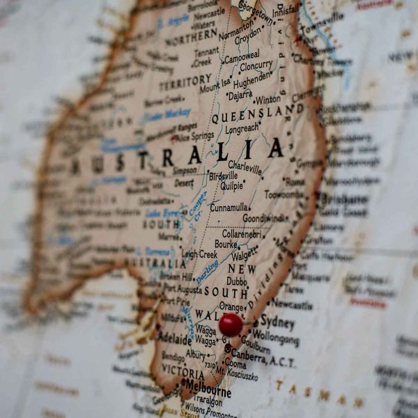
TLCMap will allow humanities researchers to build digital maps with pathways and search the data held in different Australian repositories by location and time and compile new data sets.
TLCMap is a mapping platform for place-linked and time-linked materials from historians, linguists, literary scholars, built environment researchers and cultural heritage, image, media and film scholars.
The functionality of the map will allow straightforward instant mapping of data sets provided by users and integration with existing datasets. Researchers will also be able to visualise the combinations through a map and a time series chart. A module to detect place names and time references in official records, diaries, newspaper articles and books is also part of the project.
Member of C21CH and Chief Investigator for the TLCMap project, Emeritus Professor Hugh Craig, said the TLCMap will have many applications across various disciplines and will allow new discoveries in Australian history and culture to be made.
“The map will mean we can create new and revealing visualisations of humanities research. TLCMap will provide ready access and new interpretive tools for humanities researchers to take advantage of resources already created, and in turn to enrich those sources with tagging and cross-referencing.”
“Digital maps help answer research questions, turn research outcomes into research tools for others and are an interactive and visual way to engage the community.”
“For example I plan to use the TLCMap in a collaboration with Professor Deb Loxton and Dr Xenia Dolja-Gore for the UoN Priority Research Centre in Generational Health and Ageing to analyse domestic violence data. TLCMap will allow us to visualise the geographic and temporal distribution of domestic violence reports in The Australian Longitudinal Study of Women’s Health,” Emeritus Professor Craig said.
This technology will also be used by C21CH Director Professor Victoria Haskins to add a time dimension and a relational database to details of historical Aboriginal missions, reserves, and camps, collected under the project The NSW Aborigines Protection/Welfare Board: A History, led by Professor John Maynard, and already uploaded to NationalMap.
“I work closely with people from the Indigenous community researching their own family histories and there is a high potential for this technology to be used in assisting and developing such work, for instance in the form of online resources or documentaries,” Professor Haskins said.
Professor Ros Smith, also a C21CH member, will use the TLCMap to map literary true crime sites in urban and rural Australia, tracing re-used material from the source to the various iterations and providing maps of authorship and readership.
“One of the features of true crime is that the same stories reappear at different times in different locations, often over centuries. The mapping of such circles of redaction from the source location undertaken in this project will provide not only new ways of presenting evidence of reuse that characterises the genre, but will also provide maps of authorship and readership located not around single publication instances but around extended ‘publication events’,” Professor Smith said.
Professor Lyndall Ryan will also use the map to refine the Colonial Frontier Massacres Map software and package it as a generalised international model, with new functionality related to keeping sensitive data secure.
C21CH is collaborating with the University of Melbourne, University of Technology Sydney, Curtin University, the University of South Australia and Edith Cowan University and ThinkPlace consultants on the TLCMap having secured $420,000 funding from the ARC Linkage, Infrastructure Equipment and Facilities (LIEF) scheme.
The map is due to be launched in 2020.
Related news
- Advancing Human-Agent Collaboration Through Agentic AI
- From Research to Reality: New Algorithms Revolutionise Geotechnical Design
- Scientists find a fast, new way to recover high-grade silver from end-of-life solar panels
- University of Newcastle’s I2N takes out top honours
- HMRI celebrates excellence in research and innovation at 2025 awards
The University of Newcastle acknowledges the traditional custodians of the lands within our footprint areas: Awabakal, Darkinjung, Biripai, Worimi, Wonnarua, and Eora Nations. We also pay respect to the wisdom of our Elders past and present.