

Goal 11:
Sustainable Cities and Communities
Sustainable Cities and Communities
Pedestrian Priority on Campus
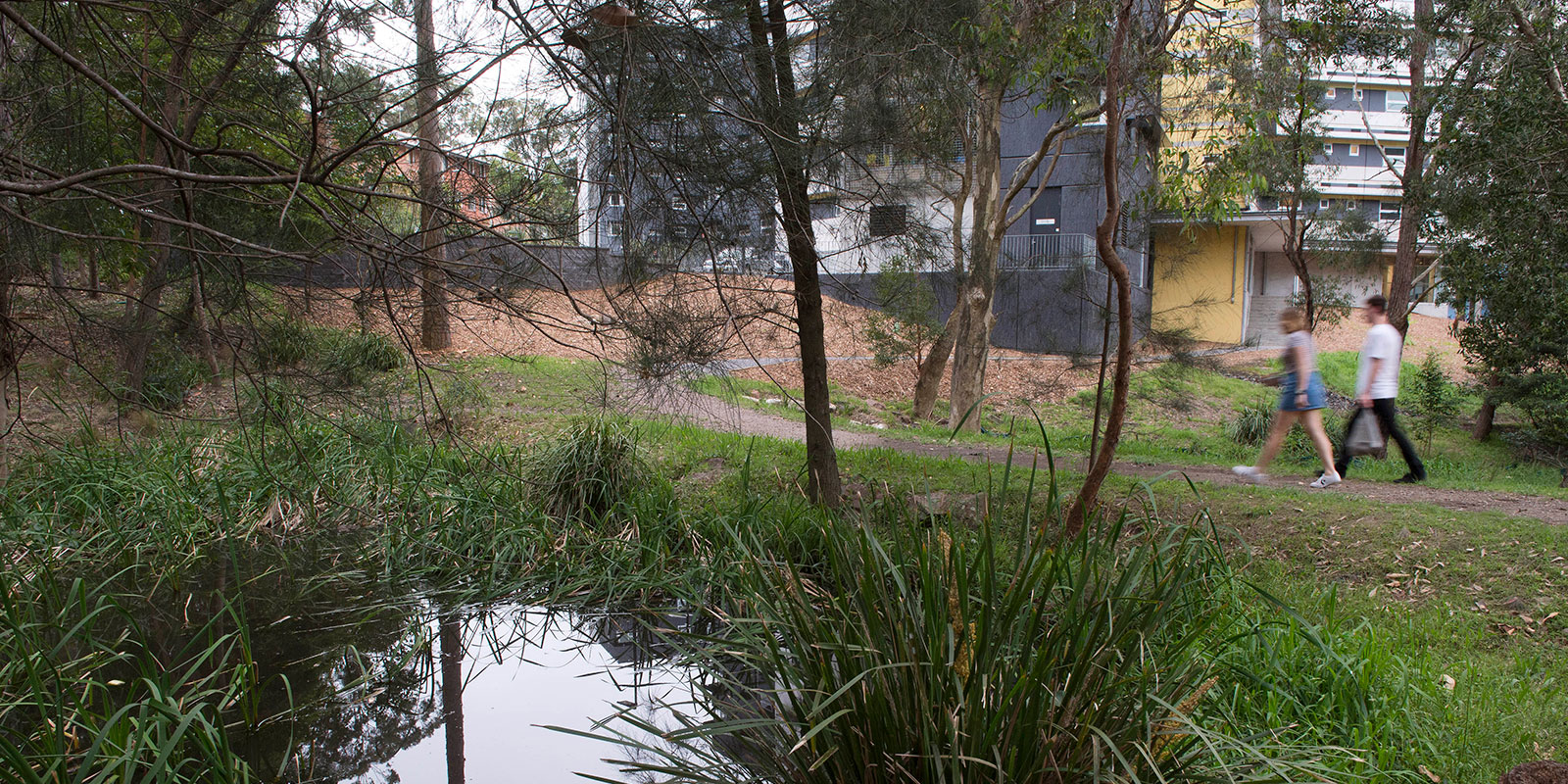
In 2025, the University of Newcastle gives prioritised pedestrian access on campus through road design, traffic calming, dedicated walking infrastructure, safety measures, active-travel promotion and wayfinding systems.
Road Design & Traffic Management
- On Callaghan Campus, we operate a Ring Road system, and on the Ourimbah Campus, a Loop Road system. These roads are designed so that pedestrian movement between classes, recreational areas, and student amenities is separated from vehicle traffic wherever possible.
- To further protect pedestrians, both Ring and Loop Roads carry a 40km/h speed limit.
- Crossing points are raised, well‑lit, and clearly highlighted, especially in parking and pedestrian zones, to ensure drivers slow down and pedestrians are visible and safe.
Encouraging Active Travel & Walking
- In 2025, we actively promoted walking and other forms of active travel (cycling, scooting) as preferred modes for getting to and moving about on campus.
- Our Walk to Campus web page provides guidance and active travel maps for surrounding suburbs, offers tips on safe routes, and highlights pedestrian entry points.
- Once on campus, walking is the primary mode of movement between buildings and facilities, with paths laid out to provide direct and logical pedestrian routes.
Wayfinding, Maps & Digital Support
- The University provides interactive campus maps and mobile apps where recommended pedestrian paths, footbridges, and patrolled walkways are clearly marked.
- These digital tools also highlight lighting, safety, and shortest walking routes, helping users navigate effectively between classes, parking, and amenities.
- MazeMap provides detailed maps of the University of Newcastle campuses including the location of lecture theatres, tutorial rooms, computer labs and toilets.
Walking Safely Around Campus
- Our Campus Security team provides an after dark Safe Walk Service, available to all members of our university community. The escorted service supports safe pedestrian movement from building to building, building to vehicle, and vice versa within the boundaries of our Callaghan Campus.
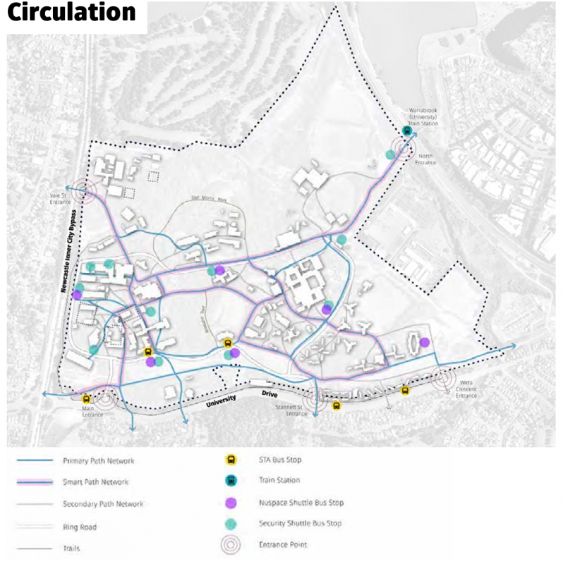
- Around Callaghan campus, certain pathways are marked 'Smart Path'. These are high foot traffic areas with a combination of enhanced lighting, CCTV surveillance, wide paths and reduced vegetation. Smart Paths are clearly marked and patrolled at night by our Campus Security team between 12:00pm – 12:00am seven days a week. The myUni app also identifies Smart Paths and Security Help Points and can show the user’s location in real time to support pedestrian navigation.
The University of Newcastle acknowledges the traditional custodians of the lands within our footprint areas: Awabakal, Darkinjung, Biripai, Worimi, Wonnarua, and Eora Nations. We also pay respect to the wisdom of our Elders past and present.