Gaining cutting-edge knowledge through further study
After growing up with a fascination for landscapes and maps, Leigh Smith began his tertiary study in Geography and Geomorphology at University of Durham, England in the late 1990s.
After relocating to Australia in 2000, he spent the next 20 years applying his skills working in waterway management. He has recently decided to transition to consultancy where he can work closely with geographic information systems (GIS) and a diversity of related projects.
“I have completed various further studies whilst in Australia, however I always had a hankering to do more with GIS, mapping and the coast.
“I recently reached that point in my career where I needed to satiate that need to learn GIS more deeply and combine it with my interest in maps and the coast, so I could build on my current expertise but nudge the next phase of my career in a slightly different direction,” Leigh said.
Discovering the Graduate Certificate in Spatial Science at the University of Newcastle and researching the content, Leigh realised it aligned perfectly with his career aspirations and interests in the field.
“When I found the Graduate Certificate in Spatial Science, I couldn't believe it! A course focused on learning advanced GIS and remote sensing supported by the University’s coastal group.
“I felt enrolling in this course would give me what I needed to enhance my expertise.
“And I have not been disappointed. In fact, my expectations have been exceeded,” he said.
Describing spatial science as the tools and techniques required to explore the world through spatial data and analysis, Leigh believes that this industry has broad application to many different real-world challenges including helping to address the impacts of climate change.
"One of the most exciting emerging opportunities for applying remote sensing is in supporting ‘blue carbon’ accounting for coastal ecosystems such as Mangroves, Salt-marshes and Seagrass Meadows by mapping changes in vegetation extents over time," Leigh said
As a current student, Leigh has already become a highly desired employee in his new role.
“My new company was very interested in the knowledge and skills I had learned and applied during the program and have been very supportive in providing opportunities for me to put them to use,” he said.
Thanks to case study-based learning, Leigh has already been able to implement what he has learnt in the classroom in real life.
“Everything I have learned can be put into practice in my work and I have been surprised by how leading-edge my newfound knowledge and skills are,” he said.
As an example, Leigh has recently begun a remote sensing-based project for a local client to develop a 40-year time series of vegetation change in a coastal wetland of international significance.
“Developing the methodology for the project drew heavily on my study and helped to produce a robust proposal that the client was very impressed with.
“The flow on impact is the innovative application for remote sensing data to assist with real-world problem solving and decision-making regarding this important natural asset. Wins all round!” Leigh said.
Having a clear study pattern and relatable content, Leigh evolved his skills and got to dive into his passion along the way.
“One of the great things about the program structure is it is very logical, and the learning goals and assignment submission requirements are very clear.
“I found my learning evolved and reinforced as I moved through each course.
“I enjoyed the cumulative nature of seeing my progress and feeling my knowledge and skills develop,” Leigh said.

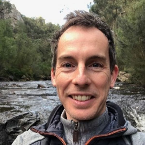
Leigh Smith
Discovering the Graduate Certificate in Spatial Science and researching the content, Leigh realised that the program aligned with his career progression and interests in the field.
Enrolling in this course, I felt it would give me what I needed to enhance my expertise... and I have not been disappointed. In fact, my expectations have been exceeded.
The University of Newcastle acknowledges the traditional custodians of the lands within our footprint areas: Awabakal, Darkinjung, Biripai, Worimi, Wonnarua, and Eora Nations. We also pay respect to the wisdom of our Elders past and present.