Researcher Highlights
A deep dive to understand vulnerable coasts
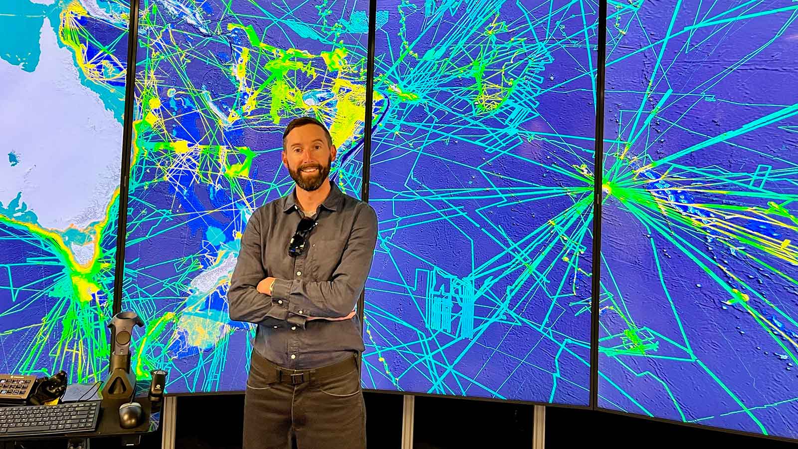
Dr Michael Kinsela
There’s more to our beaches than where you place your towel and most of it is underwater – Dr Michael Kinsela is revealing the secrets of the seafloor to discover how the resilience of coasts to storms and climate change depends on what lies beneath.
Ask most Australians what they think a beach is and they will tell you about the glorious golden sand above the water line where they soak up some warmth from the sun after a refreshing dip in the sea. But few would know that the dry beach is only one small part of a much vaster sediment system, where sand is constantly on the move.
“The largest part of the beach system is actually underwater. It’s known as the shoreface, and it extends from where waves wash up at the shore, out through the surf zone, and far beyond to where unbroken waves first start moving the seabed,” said Michael.
“The shoreface is really the engine room of coastal change at longer timescales, such as over the decades to centuries that coastal planners need to consider in determining where will be safe or unsafe to build and live in the future.”
Michael has been working to identify and map coastal sediments in that zone, to study how shoreline change observed through history and forecast into the future depends on gradual sand movement between the beach and shoreface, and between bays where shoreface sand can sneak around headlands.
“Our coasts respond to changing waves and sea levels by shifting sand between the beach and shoreface until it finds a happy equilibrium. The redistribution of sand causes shorelines to move, which can be a problem where we have built to close to the shore.”
“The happy balance is different for each beach however, which means that we need to know the seabed geomorphology off each beach in detail, if we want to improve our predictions of coastal change at longer timescales.”
Sediment budgeting for coastal management
Mapping the coastal seafloor is the first step in a process referred to as sediment budgeting, which is basically where coastal geology meets accounting.
“What we really need to know to understand why some coasts are eroding, and to predict future coastal change, is where are the sources, sinks and pathways for sand in our coastal systems, and at what rates is sand moving between them,” said Michael.
“Evidence from the mapping helps us to identify sand connectivity and movement, which we can investigate further by deploying current and sediment sensors. The mapping and sensor data can then be used to guide sediment transport models.”
The data and knowledge generated through Michael’s research can be applied by coastal managers to plan adaptive management pathways, in which coastal change is monitored and compared with predictions to determine when management actions should be taken.
Peering into the past to forecast the future
Michael recently travelled to Brazil to take part in the UNESCO International Geoscience Programme, IGCP 725 Forecasting Coastal Change: From Cores to Code. The five-year project aims to bridge the gap between field-based coastal geology and modelling, to improve our ability to forecast future coastal change.
“In my research I use field sampling, spatial analysis and numerical modelling to collect and integrate clues from the past and present that can help us understand coastal dynamics.”
“Because we haven’t experienced the sea level rise projected over coming centuries in our modern history, we need to dig deeper into geological records of past coastal change to find the evidence that we need to guide modelling.”
“It’s important to remember that in Australia, for example, Indigenous cultures have also preserved knowledge of dramatic sea level rise and coastal change that were experienced tens of thousands of years ago, and that is valuable information too”.
The international project is bringing together perspectives, knowledge and experience from around the world to ensure that field geoscience and coastal change modelling are working together to improve insights from sampling and predictions for the future.
Community-driven coastal science
With past experience as a government scientist, Michael is convinced that effective coastal management strategies must involve communities, not just through consultation but in the study of coastal change. After all, coastal communities can be the ultimate environmental observers and stewards.
That’s why Michael co-founded the CoastSnap Community Beach Monitoring program with his collaborator Dr Mitchell Harley from the University of New South Wales.
“CoastSnap is a citizen science program that enables communities to accurately measure and map beach change with a snap of their smartphone, achieving similar accuracy to scientists using expensive equipment,” said Michael.
“Coastal researchers and managers can’t be everywhere all the time collecting valuable data that is needed to understand and model coastal change.”
CoastSnap began in 2017 as a pilot study funded by the NSW Environment Department, with two monitoring stations at Sydney’s world-famous Manly and Narrabeen beaches. With now several hundred CoastSnap beach monitoring stations in over 30 countries on all continents except Antarctica, and several Pacific islands too, the initiative has been a huge success.
“We knew CoastSnap was a great idea, but I don’t think we ever dreamed that six years later it would be a truly global community coastal monitoring phenomenon.”
“Communities love closely observing and learning about their dynamic coasts, while coastal researchers and managers can use the data to guide coastal models and identify thresholds that might trigger actions along an adaptive management pathway,” said Michael.
“The most important part of CoastSnap is that everything from station designs to the data methods and software tools are open source. That means that low-cost beach monitoring is now available for coastal managers and communities around the world to set up in their own backyards.”
Putting coastal adaptation into practice
Michael remains optimistic about how Australia can adapt its coastal management policies and practices to ensure that future generations can enjoy the treasured coastal settings and lifestyles that we have. And he thinks that every Australian has a part to play.
“At the end of the day we are all impacted by natural hazards and a changing global climate by rising insurance costs and government funded disaster responses.”
“The more people who understand dynamic coastal environments and the cost of failure to adapt in advance to increasing coastal risk, the better decisions governments can make now to reduce the physical, social and financial burdens on current and future generations.”
“We currently spend a lot of money on disaster response and recovery. If we matched that with funding for adaptation and resilience we would be on our way to a better future.”

The University of Newcastle acknowledges the traditional custodians of the lands within our footprint areas: Awabakal, Darkinjung, Biripai, Worimi, Wonnarua, and Eora Nations. We also pay respect to the wisdom of our Elders past and present.