Associate Professor Temitope Egbelakin awarded DFAT COALAR Funding
A/Prof Temi Egbelakin and her team (Prof SueAnne Ware, Dr Sittimont Kanjanabootra, Dr Sandra Carrasco, Dr Olabode Ogunmakinde and Mr… Read more

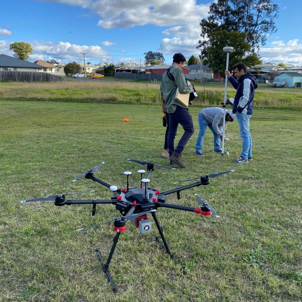
The Surveying Research Group is conducting research in the photogrammetry and special information area, in applications of automated image matching and surface shape registration, without the use of control points.
The Surveying Research Group is conducting research in photogrammetry, geospatial information and geodesy. The group has been carrying out photogrammetric research since the 1980s into a variety of applications of close-range photogrammetry, for engineering, topographic, biological, medical, and forensic studies. Research in the marine mammal environment has led to the development of specialist tracking software and techniques using a variety of platforms including theodolites and cameras.
Geodetic research interests lie in the use of geodetic satellite techniques, mainly related to satellite altimetry and gravimetry, for monitoring and understanding physical ocean processes and environmental change. For these techniques, satellite altimetry is an established technique for observing the ocean surface. Satellite gravimetry is complementary to satellite altimetry aimed at measuring temporal changes of gravity caused by mass redistribution in the Earth (e.g., GRACE mission) and improving the Earth's static gravity field and geoid (e.g., GOCE mission). The surveying group has conducted internationally recognised geodetic research into coastal altimetry and its applications in observing and determining variations in sea level and ocean dynamics.
Our current research in the areas of photogrammetry and spatial information lie in:
Within geodesy, the main area of research is satellite radar altimetry. This research has relevant industry applications, specifically in the understanding of the mesoscale ocean currents in coastal zones, sea level changes, and marine gravity field. Ongoing research into this area incorporates the following:
In addition, the Surveying Research Group is proposing research into the exploitation of surface hydrological flux mapping using data from satellite altimetry (radar and laser) and spaceborne gravimetry such as the NASA/GFZ mission Gravity Recovery and Climate Experiment (GRACE).
Other researchers in this group include: Dr Harvey Mitchell, Dr Eric Kniest and Dr Ole B. Andersen

A/Prof Temi Egbelakin and her team (Prof SueAnne Ware, Dr Sittimont Kanjanabootra, Dr Sandra Carrasco, Dr Olabode Ogunmakinde and Mr… Read more
With leaking and burst water pipes costing water authorities and consumers time and money, as well as wasting a precious… Read more
Recognised by the United Nations Environment Programme (UNEP) as a world-leader in microplastics research, University of Newcastle’s Dr Thava Palanisami… Read more
Work will start early in the New Year on an Australia-first arts pavilion set to cement Lake Macquarie as one… Read more
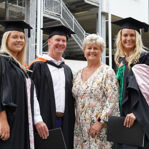
There is light at the end of the tunnel for 550 students who will celebrate the culmination of their studies… Read more
The University of Newcastle acknowledges the traditional custodians of the lands within our footprint areas: Awabakal, Darkinjung, Biripai, Worimi, Wonnarua, and Eora Nations. We also pay respect to the wisdom of our Elders past and present.