Global wave of interest continues for Australian massacres map
More than 6 months after the launch of the colonial frontier massacres map, the online resource is continuing to have a significant global impact.
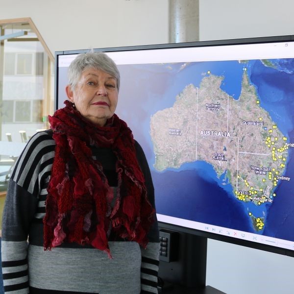
Developed by University of Newcastle historian, Professor Lyndall Ryan, a member of the Centre for 21st Century Humanities and the Centre for the History of Violence, and her team including Dr Jennifer Debenham, Dr Mark Brown (University of Tasmania), Dr Bill Pascoe, Jack Newley and Daniel Price, the map documents more than 150 Aboriginal massacres that occurred during the spread of pastoral settlement in Australia.
The map has had global a reach of 99,554,454 since its launch in July 2017 with many worldwide media, including The New Yorker, publishing articles on the map and Professor Ryan’s research. The map has appeared in major news outlets nationally and internationally, such as the ABC, BBC, SBS, The Guardian, SMH, The Age, The Australian, Crikey, MSN, and Daily Mail Online. More than 40,000 have people viewed the map webpage since July 2017.
Professor Ryan has been fielding daily requests from people using the map who either want more information or can provide information about the massacres, as well as others who want to use the map in movies, articles, and study guides.
“All the correspondence we receive shows that the map is being used on a regular basis,” Professor Ryan said. “I think this map is having such an impact because it’s the first of its kind that provides more in depth details. Now people can access and check the map themselves it is encouraging people to go and investigate things further,” Professor Ryan observed.
Professor Ryan’s next step is to continue to make the map more user friendly as new technology emerges, while also expanding the map to include data for massacres in South Australia, the Northern Territory and Western Australia.
“We are hoping to launch stage 2 of the map in mid May and then eventually hope to extend the date range of the map from 1788 to 1960. It’s very much an ongoing project.” Professor Ryan said.
Related news
- Newcastle team on mission to improve childhood cancer outcomes
- Shanae’s passion for caring delivers her dream to work in health
- Food and nutrition degree serves Keren a rewarding career
- Kicking goals on and off the field, Joeli proves you can do it all
- Proving age is just a number, Arlyn wants to inspire more women in their 50s to pursue education
The University of Newcastle acknowledges the traditional custodians of the lands within our footprint areas: Awabakal, Darkinjung, Biripai, Worimi, Wonnarua, and Eora Nations. We also pay respect to the wisdom of our Elders past and present.